- CSS in the News
- Environmental Resource Assessment & Management
Providing Technical Assistance for Reporting Francis Scott Key Bridge Collapse

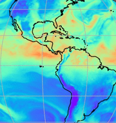
Following the Francis Scott Key Bridge collapse in March 2024, high-profile news outlet, CNN, contacted NOAA’s Office for Coastal Management seeking ship traffic data and expertise from the Marine Cadastre team. CSS employee owners supporting the Marine Cadastre project (through a subcontract with Lynker) are the team’s data experts and were the most qualified to respond to the request. They provided the most recent vessel traffic (AIS) data available for public consumption for the Baltimore Harbor and Chesapeake Bay. In addition, CSS staff provided technical assistance to help the media understand the data and the information they provide.
AIS data are collected by the U.S. Coast Guard, and transponders are required for most commercial and recreational vessels over a specific weight or length. CNN staff used the data to develop a map that demonstrates ship traffic patterns in the Baltimore Harbor along with the route of the Dali, the large container ship that collided with the bridge support causing the collapse. This information helps visualize the impact to the port that the bridge collapse has and will continue to cause as the recovery effort continues.

For many years, CSS employee owners have processed, managed, and maintained AIS data. While part of the team’s intent to incorporate the data into Marine Cadastre was originally to assist users with conflict avoidance, the team is grateful they could assist with this request.
See More CSS Insights
Evaluating the Use of Earth Observations Digital Twin Technologies
Earth Observations Digital Twin technologies are data analytics, artificial intelligence, and advanced modeling technologies that provide an estimate of the true state of the Earth. An Earth Systems Digital Twin is observations-based and grid-flexible with multiple components and high-resolution data over space and time to capture all available observations and feed a variety of direct…
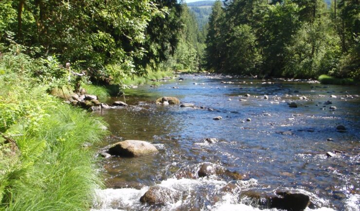
Over 2000 River and Stream Samples Analyzed
Every five years teams supporting U.S. Environmental Protection Agency’s National Aquatic Resource Survey—consisting of tribal, state, and federal partners—collect samples from over 2000 river and stream reaches throughout the United States. CSS analytical chemists support this effort by processing the samples and then analyzing them for various chemicals to help characterize their water quality. The…
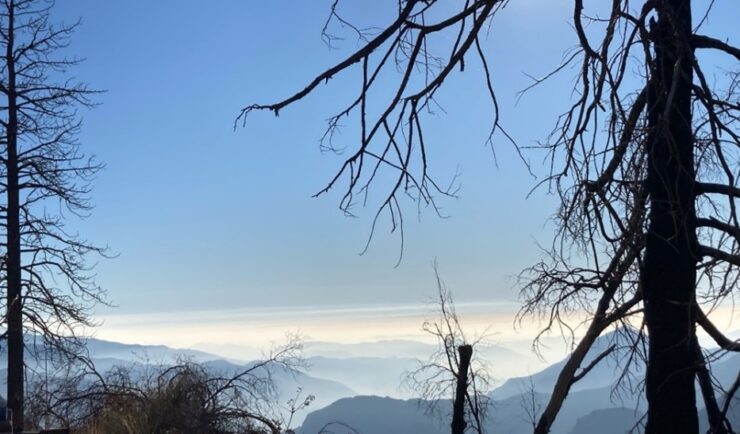
Monitoring Air Quality in California’s San Joaquin Valley
CSS employee owners supported the deployment and operation of the U.S. Environmental Protection Agency (EPA) air quality monitoring trailer (WEAVE COM – Western Enhanced Air quality VEhicle for COmmunity Monitoring) in California’s San Joaquin Valley in during late fall and early winter of 2024. Elevated particulate matter (PM2.5) is frequently found throughout the valley during…