- Community Spotlight, Success Stories, Uncategorized
- Satellite Science & Environmental Intelligence
Evaluating the Use of Earth Observations Digital Twin Technologies
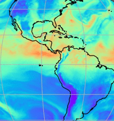
Earth Observations Digital Twin technologies are data analytics, artificial intelligence, and advanced modeling technologies that provide an estimate of the true state of the Earth. An Earth Systems Digital Twin is observations-based and grid-flexible with multiple components and high-resolution data over space and time to capture all available observations and feed a variety of direct observations to users. Adding or removing data is flexible, cost-efficient, and agile with fast processing. NOAA’s National Environmental Satellite, Data, and Information Service (NESDIS) is exploring the use of this technology.
Through their joint venture program, they contracted three companies to each developed a prototype to explore this technology. CSS employee owners (formerly Riverside staff) were responsible for evaluating these prototypes. Our staff evaluated the code for each Earth Observations Digital Twin prototype and explored using them for enhancing the ability to process, monitor, quality-control, consolidate, fuse, and assimilate environment observations and streamline the satellite data ground processing. Our staff provided feedback and recommendations to NESDIS regarding the validity and integrity of using an Earth Observations Digital Twin, and whether or not they could be used for potential future applications.

Learn more about how NESDIS is exploring the use of Earth Observations Digital Twin.
See More CSS Insights
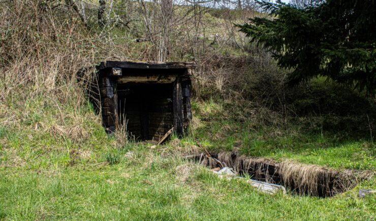
Assessing Contamination in Abandoned Mines
CSS supports the Environmental Protection Agency with assessing contamination within abandoned mines. There are thousands of abandoned mines throughout the western United States. Many of these mines are leaching heavy metals into nearby streams or have contaminated soils causing vegetation die off. CSS employee owners conduct field work to assess the extent of this contamination.…

Developing a Database for Ecosystem Service Models
CSS scientists have been major developers and contributors to the online U.S. Environmental Protection Agency’s EcoService Models Library (ESML) database since its inception in 2012. The ESML database contains detailed but concise descriptions of ecosystem service models to facilitate the selection of models by ecosystem scientists for a variety of management and research applications. The…
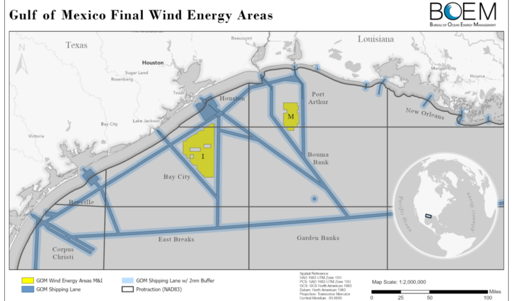
Expanding Our Offshore Wind Team
We’ve recently added several staff to bolster the offshore wind team at NOAA’s National Centers for Coastal Ocean Science. With this full team of 13, our employee owners are able to provide more focused support in their areas of expertise, including mapping and spatial modeling, data collection, communications, project management, and partner engagement. Through this…